🌎🌏 🌎🌏 🌎🌏
If you haven’t heard about the story of the #30DayMapChallenge, I encourage you to watch Topi Tjukanov talk about it himself: NACIS 2021 Topi Tjukanov. Also check out the official website: #30daymapchallenge.
The idea is to create maps based around different themes each day of November using the hashtag #30DayMapChallenge. This was my first year participating and I knew that I wouldn’t have the time to make many, but I was excited to give it a swing nevertheless.
Day #1:
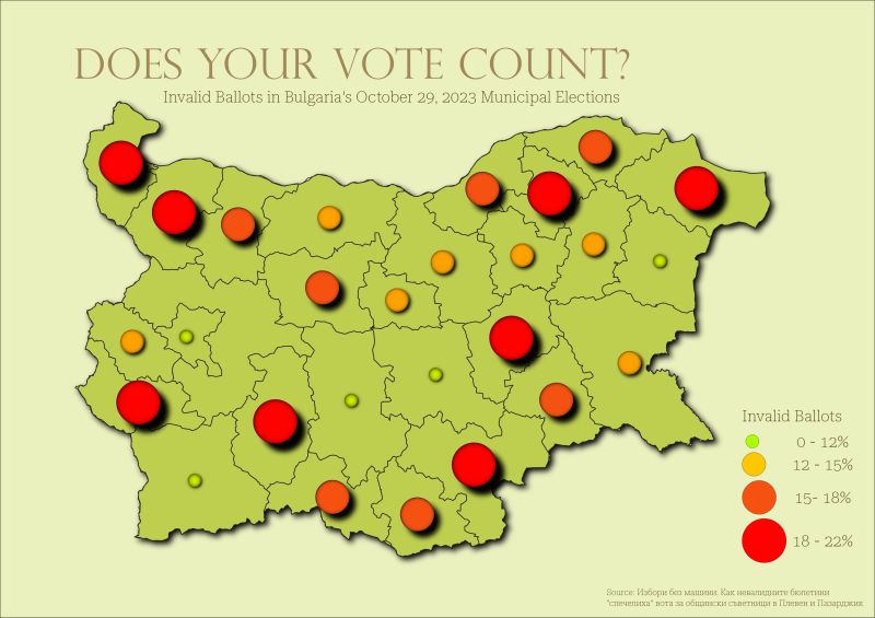
While clearly not the best map I’ve ever made, I wanted to do something meaningful and in the current local news. I had recently talked with a friend from Poland who had “regained” his hope in democracy when nearly 75% of the population turned out to vote. The story seemed a stark contrast to the situation in Bulgaria. What happens when about 20% of the vote in certain provinces aren’t counted? (Source: Избори без машини. Как невалидните бюлетини “спечелиха” вота за общински съветници в Плевен и Пазарджик.)
Day #2: Lines
Here is the product of a simple arcpy script that takes a set of points (cities) and calculates the nearest features (hospitals) and edits symbology accordingly using arcmpy.mp.
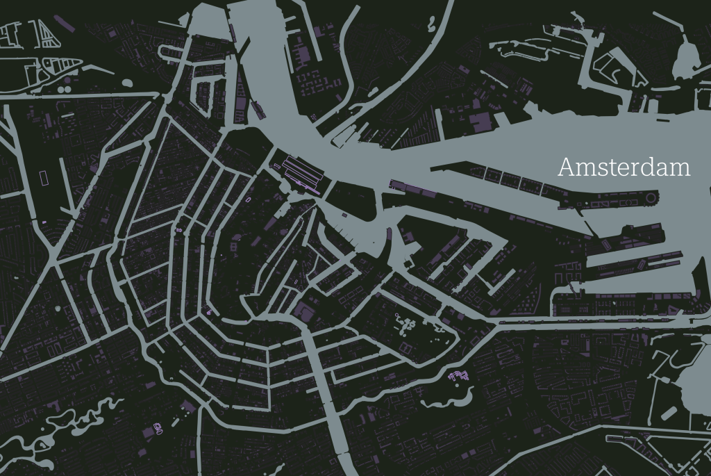
Day #3: Polygons
Here is an incredibly quick map of Amsterdam, which literally means in Dutch “The Dam on the River Amstel.”
Day #7: Navigation
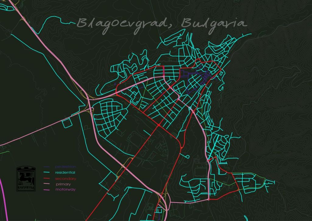
Day #15: OpenStreetMap.
A round of applause to all those who contribute!
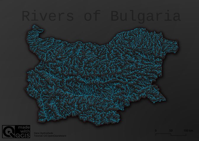
Day #17: Flow
A special thanks to Hans van der Kwast for the amazing tutorials at “GIS OpenCourseWare” See here for the tutorial: Styling Rivers and Basins
Data: HydroSHEDS https://www.hydrosheds.org
By the way, if you haven’t tried out Felt’s new QGIS plugin, be sure to check it out. It took only a few seconds to upload my map: felt.com
Listen to more about Felt on MapScaping.