
Hans van der Kwast has an excellent set of tutorials using open-source software at at GISOpenCourseware.org. One of my favorite QGIS tutorials of his utilizes HydroSHEDS data. It felt like there was still something missing after completing the tutorial and it seemed that adding a DEM to the map would provide much more context. Hillshade tips can be found at Map Academy’s YouTube channel and “draw effects” really did make the county pop out.
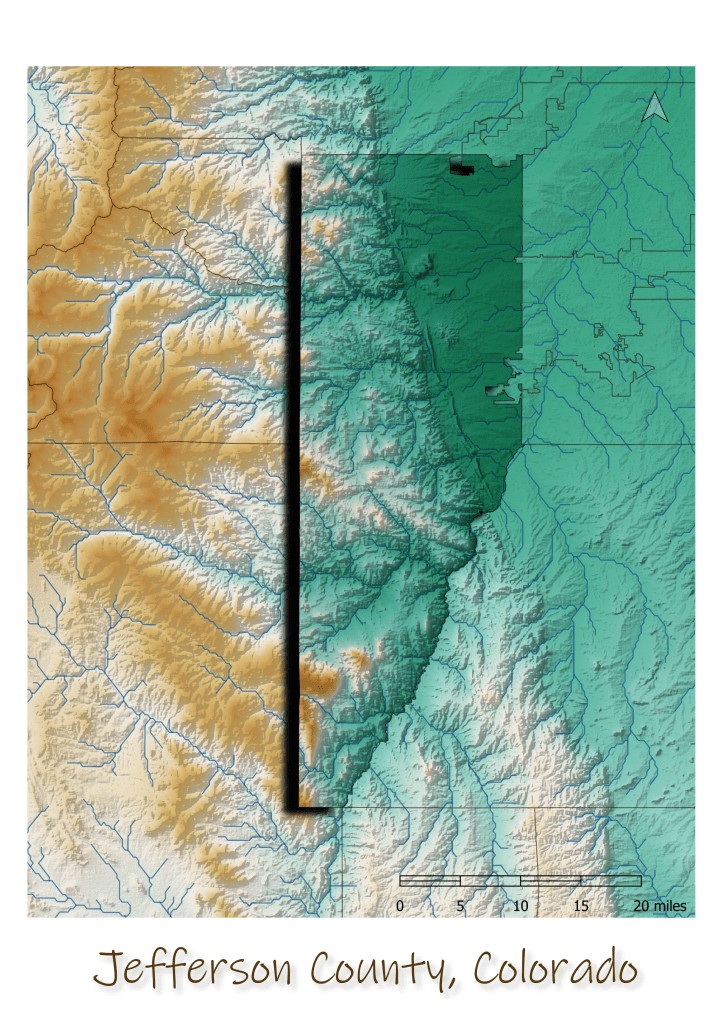
The only issue is, the HydroSHEDS data isn’t exactly at the highest resolution. Zoom in to the city level and it’s a bit underwhelming.
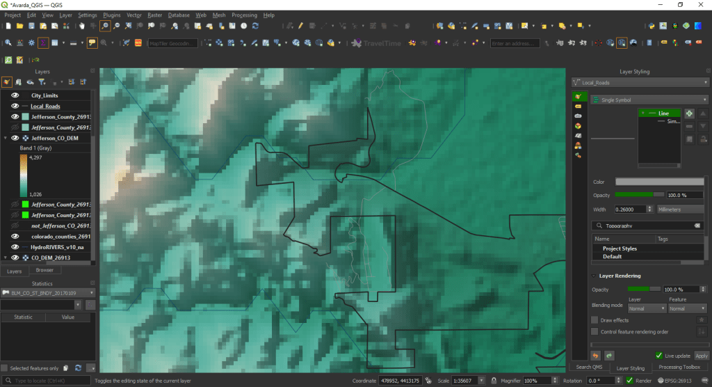
I was curious what Colorado’s Spatial Data Portal had to offer. The National Hydrography Dataset Plus Version 2.1 seemed like a great place to start, the only problem was that it’s a massive dataset. As for a elevation, USGS’s National Map Downloader offers 1M DEMs.

