
Category: Portfolio
-
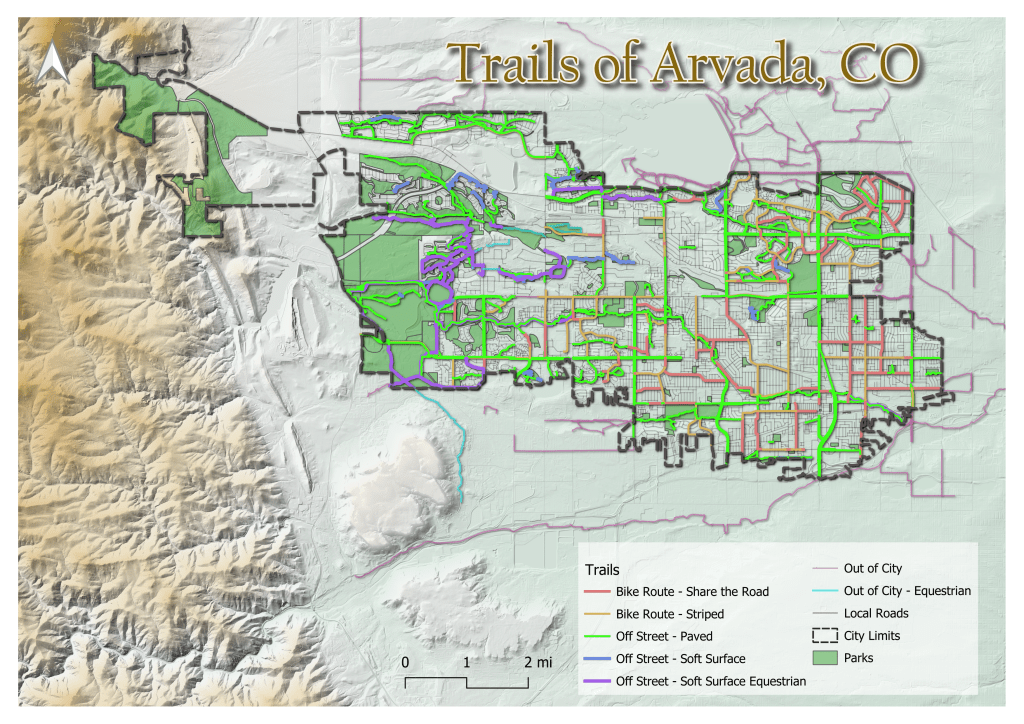
Jefferson County Colorado
Hans van der Kwast has an excellent set of tutorials using open-source software at at GISOpenCourseware.org. One of my favorite QGIS tutorials of his utilizes HydroSHEDS data. It felt like there was still something missing after completing the tutorial and it seemed that adding a DEM to the map would provide much more context. Hillshade…
-
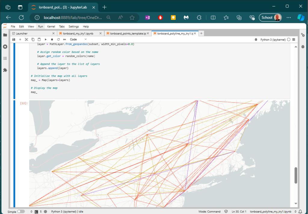
Lonboard
“Lonboard” is a new binding to the deck.gl geospatial data visualization library. A “deck” is the part of a skateboard you ride on. What’s a fast, geospatial skateboard? A lonboard. It’s a play on words with “longboard” – a type of “long” skateboard especially designed for its speed. Here is a short snippet of code that will assign…
-
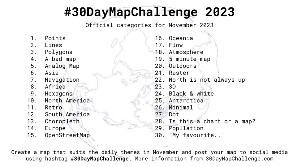
#30DayMapChallenge
🌎🌏 🌎🌏 🌎🌏 If you haven’t heard about the story of the #30DayMapChallenge, I encourage you to watch Topi Tjukanov talk about it himself: NACIS 2021 Topi Tjukanov. Also check out the official website: #30daymapchallenge. The idea is to create maps based around different themes each day of November using the hashtag #30DayMapChallenge. This was my…
